What can we help you with?
All services
Spotlight
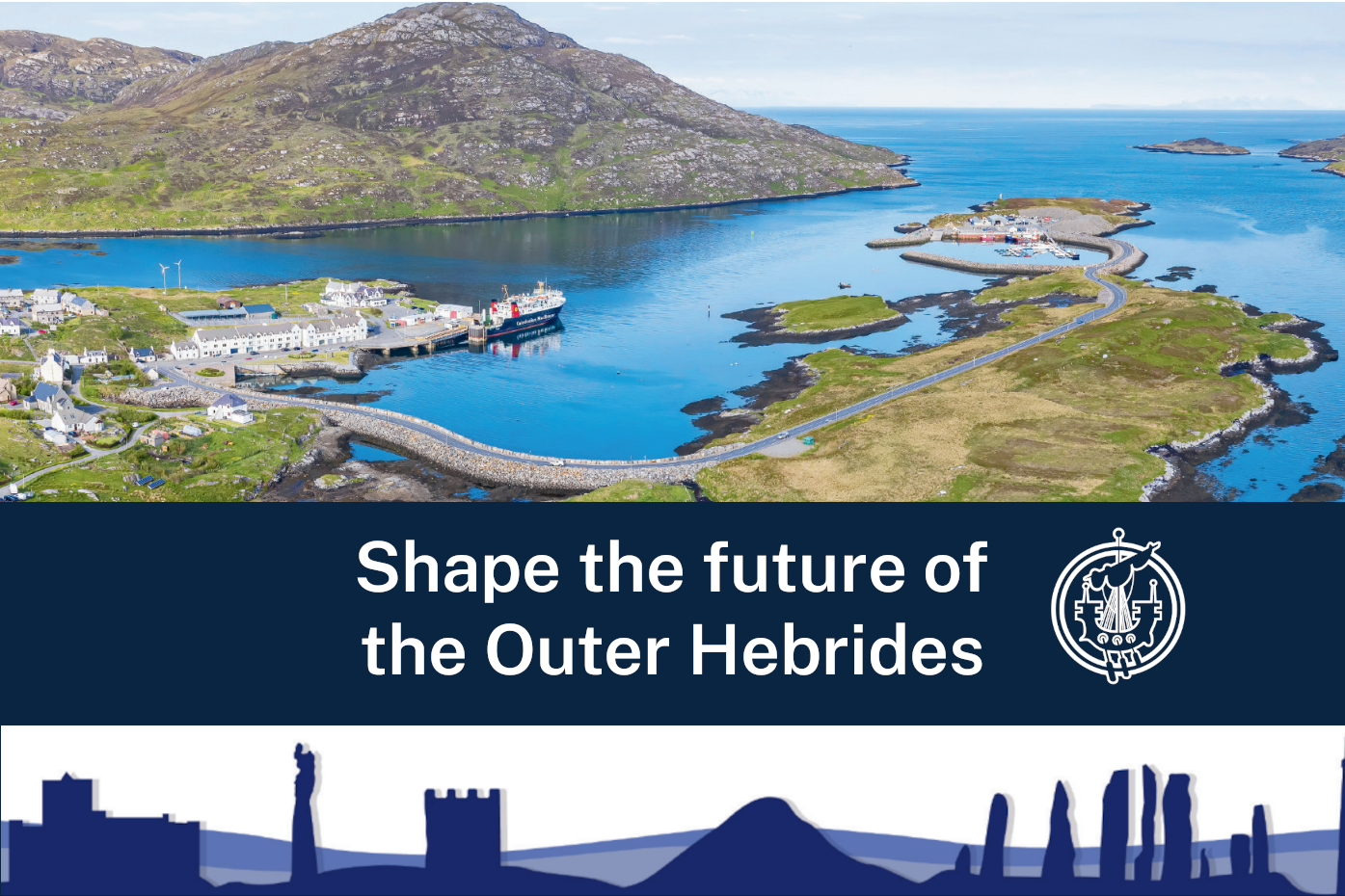
Call for Ideas’ Consultation (Local Development Plan)
This consultation is open to everyone to put forward their ideas on how land in the Outer Hebrides should be used in the future. Your views will help shape the next Outer Hebrides Local Development Plan – a key land use planning document that sets out land use proposals and planning policies intended to guide development and inform planning decisions.
This Month
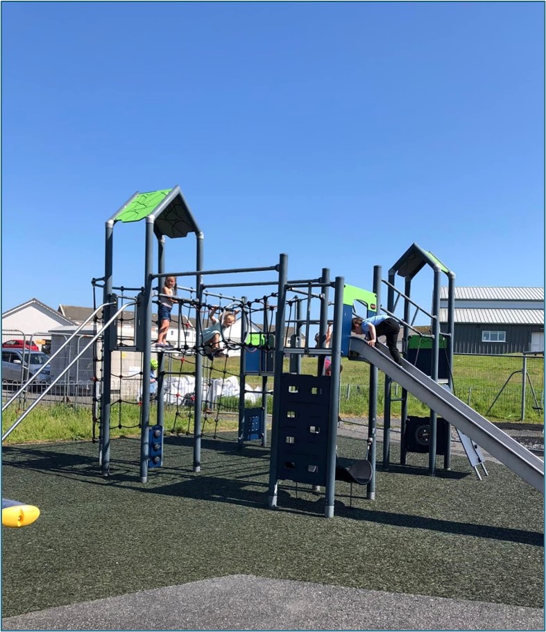
HebPlay - Play Spaces Consultation
The Outdoor Play Spaces survey will evaluate the quality, location, and range of outdoor play facilities in the Outer Hebrides, including equipped play areas, and more informal play spaces, to help planning for outdoor play opportunities for children, young people, and families.